
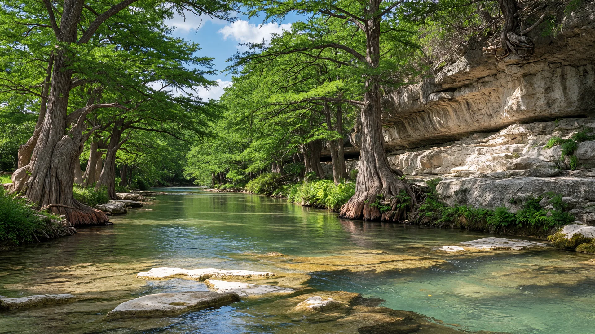
Of all the state parks within driving distance of Boerne, Guadalupe River State Park may be the most practically useful. It sits about 20 miles east of downtown Boerne via Highway 46, spans nearly 1,939 acres across Kendall and Comal counties, and preserves a nine-mile stretch of the Guadalupe River with four miles of accessible river frontage [1][2]. The park offers swimming, paddling, hiking, mountain biking, horseback riding, camping, and some of the best birding in the Hill Country — all at a day-use fee of $7 per person [1][3].
What makes this park stand out in the context of Hill Country living is not just the recreational access, but the ecological and geological story it tells. The Guadalupe River here runs through rugged limestone terrain shaped by the Edwards Plateau system, with springs that feed the river even during drought conditions. The park is recognized as an Important Bird Area by the American Bird Conservancy, with over 240 documented species including the federally endangered Golden-cheeked Warbler [4][5]. For anyone evaluating the Hill Country as a place to live, understanding this landscape — the river, the limestone, the water systems — is as practical as it is enjoyable.
What Guadalupe River State Park actually is
The park was acquired by the state of Texas from private landowners in 1974 and opened to the public in 1983 [1][6]. It is administered by the Texas Parks and Wildlife Department (TPWD). The land on the north side of the river — 670 acres known as the Bauer Unit — is named after a German couple who settled the area in the mid-1800s, and offers a more primitive, less-visited wilderness experience compared to the main park [1][7].
The park sits within the Edwards Plateau ecoregion, defined by its karst limestone geology, rugged canyon terrain, and spring-fed water systems [2][4]. The Guadalupe River cuts through this landscape, carving limestone bluffs, creating pools, and sustaining a riparian corridor of bald cypress, pecan, and sycamore trees. The geological formations visible in the park — exposed limestone strata, spring seeps, and carved river channels — are the same systems that determine well water availability, septic engineering, and drainage patterns across the Hill Country [4][8].
How to get there from Boerne
Guadalupe River State Park is located at 3350 Park Road 31, Spring Branch, TX 78070. From downtown Boerne, the most direct route runs east on Texas State Highway 46 (River Road) for approximately 13 miles, then right onto Park Road 31 for another 3 miles to the park entrance [3][9]. The total distance is roughly 20 miles, with a drive time of 25 to 30 minutes under normal conditions.
The drive itself passes through typical Hill Country terrain — rolling ranchland, live oak savanna, and occasional limestone outcrops. Highway 46 is a two-lane road in most stretches, well-maintained but rural. From Fair Oaks Ranch, the distance is similar — approximately 22 miles via roads that connect to Highway 46 east. From San Antonio's northern corridor, plan on roughly 30 miles and 35 to 45 minutes via I-10 East to Highway 46 [1][3].
| Starting Point | Distance | Drive Time |
|---|---|---|
| Downtown Boerne | ~20 miles | ~25–30 min |
| Fair Oaks Ranch | ~22 miles | ~28–35 min |
| Cave Without a Name | ~15 miles | ~22 min |
| San Antonio (I-10 corridor) | ~30 miles | ~35–45 min |
| Canyon Lake | ~18 miles | ~25 min |
Distances are approximate and based on standard driving routes.
What to see and do
Swimming and wading
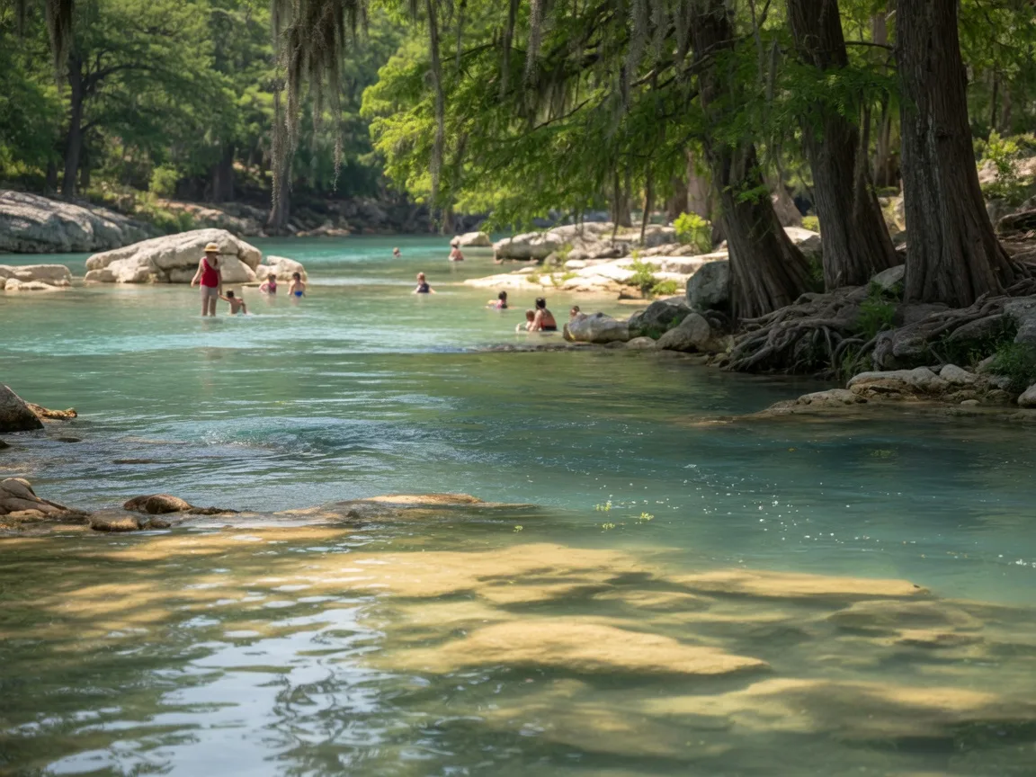
The Guadalupe River is the main draw for most visitors, particularly from late spring through early fall. The park designates several safe swimming and wading areas along its four miles of river frontage, with clear, spring-fed water flowing over limestone beds [1][3]. Water levels and flow rates vary seasonally — the river is most inviting during warm months when swimming provides genuine relief from Hill Country heat. During summer weekends, the river areas can be popular; arriving before 10 a.m. is a practical way to find a good spot.
Paddling trail
The park offers access to the 5-mile Guadalupe River State Park Paddling Trail, suitable for kayaking, canoeing, and tubing [10]. The put-in is at the park itself, with a take-out at Nichols Landing County Park. Depending on water levels, the float takes two to six hours. The trail can be extended for another 5 to 10 miles on the Upper Guadalupe–Nichols Landing Paddling Trail beyond Nichols Landing [10]. The park does not rent equipment — visitors bring their own or rent from outfitters in the area.
Hiking and mountain biking
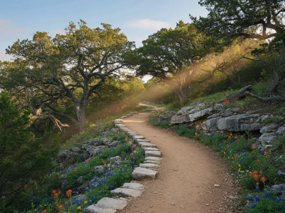
The park has over 13 miles of hike and bike trails ranging from easy riverside walks to rugged backcountry loops [1][7]. The Bald Cypress Trail (0.5 miles, accessible) follows the river through a canopy of mature bald cypress trees and is the most popular easy walk. For a more demanding outing, the Bauer Unit on the north side of the river offers approximately 7.5 miles of moderate-to-rugged trail suitable for hiking, mountain biking, and horseback riding [7][11]. The Bauer Unit is noticeably less crowded than the main park and rewards visitors with a more solitary Hill Country experience.
Birding
Guadalupe River State Park is designated an Important Bird Area by the American Bird Conservancy, with over 240 bird species documented [4][5]. The park provides confirmed breeding habitat for the Golden-cheeked Warbler, a federally endangered songbird that breeds exclusively in the mature Ashe juniper and oak woodlands of the Edwards Plateau [5][12]. The warbler arrives in early March and completes its nest cycle by mid-June — that window is the prime birding season. A formal bird checklist for the park and adjacent Honey Creek State Natural Area is available through TPWD and the Friends of Guadalupe River and Honey Creek [5].
Honey Creek State Natural Area
The park serves as the gateway to Honey Creek State Natural Area, a protected 2,294-acre tract adjacent to the park that is accessible only by guided tour [1][13]. Guided walks are offered on select Saturdays and Sundays through the Friends of Guadalupe River State Park and Honey Creek. Registration is required and closes at 3 p.m. the day before the hike. Honey Creek features one of the most pristine riparian corridors in the Hill Country, with rare plant species and undisturbed spring-fed streams [13]. If the goal is understanding the full ecological picture of this region, adding a Honey Creek guided walk to a Guadalupe River visit is worth planning ahead for.
Discovery Center
The park's on-site Discovery Center offers hands-on exhibits covering local geology, water conservation, wildlife, and cultural history [1][3]. It features interactive displays, "Discovery Trunks" for younger visitors, and the Junior Ranger Program. The Discovery Center is located at the end of the Cedar Sage Trail and operates Thursday and Friday from 10 a.m. to 2 p.m., and Saturday and Sunday from 10 a.m. to 4 p.m. [3][14].
Camping and overnight options
The park has 85 campsites available for tents and RVs, with options ranging from primitive to full-hookup [1][15]. Reservations are strongly recommended, particularly on weekends and during the summer season. All camping fees are in addition to the daily entrance fee.
| Campsite Type | Nightly Rate | Weekly Rate |
|---|---|---|
| Campsite with Water | $15.00 | $90.00 |
| Campsite with 30 Amp Electric | $20.00 | $120.00 |
| Full Hookup (Electric, Water, Sewer) | $28.00 | $168.00 |
All camping fees are in addition to the $7/day per-person entrance fee (ages 13+). Children 12 and under are free.
Some sites include access to shower and restroom facilities. Electric hookup sites are limited and tend to fill first during peak season. The Bauer Unit does not offer equestrian camping, though horseback riding is permitted on designated trails [7][11].
Hours, fees, and practical details
| Detail | Information |
|---|---|
| Address | 3350 Park Road 31, Spring Branch, TX 78070 |
| Phone | (830) 438-2656 |
| Gate Hours | 8:00 AM – 10:00 PM daily |
| Day-Use Fee (Ages 13+) | $7.00 per person per day |
| Children 12 & Under | Free |
| Acreage | 1,938.7 acres (including 670-acre Bauer Unit) |
| River Frontage | 4 miles of Guadalupe River |
| Trails | 13+ miles (hike, bike, horseback) |
| Reservations | Recommended — reserve via Texas State Parks |
What to bring and practical tips
Clothing and footwear: Water shoes or sandals with grip are essential for river entry — the limestone riverbed can be slippery. For trail hiking, closed-toe shoes with ankle support are recommended, particularly on the Bauer Unit trails where the terrain is rocky and uneven [1][3].
Sunscreen and water: The river areas provide some shade from the cypress canopy, but much of the park is exposed Hill Country terrain. Bringing sunscreen, a hat, and more water than you think you need is always a good call — summer temperatures regularly exceed 95°F [1][3].
Equipment for paddling: The park does not rent kayaks, canoes, or tubes. Bring your own or rent from an outfitter before arriving. The 5-mile paddling trail put-in is within the park; Nichols Landing is the standard take-out [10].
Reservations for camping: Weekend campsites fill well in advance during summer. Book through the Texas State Parks reservation system as early as possible — the park is popular and the number of hookup sites is limited [15].
Photography: The riparian corridor along the Bald Cypress Trail and the river reflections in early morning or late afternoon light are worth planning for. For birding photography, bring a telephoto lens — the Golden-cheeked Warbler is small and tends to stay in the upper canopy [5].
Pets: Pets are allowed on leashes in the park but are not permitted in the river swimming areas [1].
Restrooms and amenities: Restrooms and changing areas are available near the river access points and at the campground. No food concessions inside the park — pack a cooler or plan meals in Spring Branch, Boerne, or Canyon Lake [1][3].
Seasonal timing: when to go
| Season | Best Activities | Notes |
|---|---|---|
| Spring Mar – May | Wildflowers, birding, hiking, paddling | Peak wildflower bloom late Mar–early May. Golden-cheeked Warbler arrives early March. Mild hiking temperatures. |
| Summer Jun – Aug | Swimming, tubing, paddling, camping | Peak river season. Arrive early on weekends. Discovery Center open Thu–Sun. Hot midday temperatures. |
| Fall Sep – Nov | Hiking, camping, paddling, birding | Cooler temperatures, fewer crowds. Fall migratory birds. River still swimmable in September and October. |
| Winter Dec – Feb | Hiking, Bauer Unit exploration, birding | Quiet season. Best solitude on trails. Some migratory waterfowl. River conditions may limit swimming. |
Why it matters if you are considering the Hill Country
Guadalupe River State Park is more than a recreational amenity — it is a working demonstration of the Hill Country's physical infrastructure. The same karst limestone geology that shapes the park's terrain, feeds its springs, and sustains the Guadalupe River through dry months is the geology that determines where wells are drilled, how septic systems are engineered, and why water behaves the way it does across Kendall, Comal, Bexar, and Bandera counties [4][8]. Standing at the river's edge and watching water emerge from limestone springs is, in a real sense, watching the Edwards Aquifer system in action.
For families relocating from California, the Pacific Northwest, or the Northeast, visiting a park like this provides context that no market report or listing sheet can deliver. The landscape is not just scenic — it is functional, geological, and hydrological. Understanding how the Guadalupe River flows, where its springs originate, and why the surrounding terrain looks the way it does gives relocating buyers a more grounded understanding of the land they are considering [4][12].
The birding significance matters too. The Golden-cheeked Warbler, which breeds exclusively in the Ashe juniper and oak woodlands of the Edwards Plateau, is a species whose conservation status directly affects development patterns in the Hill Country. Properties within warbler habitat zones face specific permitting and conservation requirements. Seeing the bird in its natural habitat at Guadalupe River State Park — and understanding why it only breeds here, nowhere else on Earth — provides practical context for the regulatory and environmental landscape that shapes Hill Country real estate [5][12].
And then there is the proximity factor. Twenty minutes from downtown Boerne, 30 minutes from Fair Oaks Ranch, this is a state park that functions as a genuine backyard amenity. The ability to leave work at 3 p.m., drive 20 miles, and be swimming in a spring-fed river before 4 — that is the kind of daily quality-of-life metric that is difficult to quantify but easy to feel when you experience it.
For a combined day trip, pairing Guadalupe River State Park with a stop at Cave Without a Name (about 15 miles west via Highway 46) creates a single outing that covers both the surface and subsurface geology of the Hill Country — river systems above, limestone formations below. Canyon Lake, about 18 miles to the east, adds another dimension if a full-day itinerary is the goal.
Frequently asked questions
How far is Guadalupe River State Park from Boerne?
Approximately 20 miles east of downtown Boerne via Highway 46 and Park Road 31. The drive takes about 25 to 30 minutes under normal conditions [1][3].
How much does it cost to visit?
Day-use admission is $7 per person for ages 13 and older. Children 12 and under are free. Camping fees range from $15 to $28 per night depending on site type, in addition to the entrance fee [1][3][15].
Can you swim in the river?
Yes. The park has designated swimming and wading areas along its four miles of Guadalupe River frontage. Swimming is most popular from late spring through early fall. Water levels and flow rates vary with rainfall and seasonal conditions [1][3].
Do I need reservations?
For day use, reservations are not strictly required but are recommended during peak season and weekends. For camping, reservations are strongly recommended — weekend sites fill well in advance during summer. Book through the Texas State Parks reservation system [1][15].
Can I bring my own kayak or tube?
Yes. The park does not rent equipment, so visitors bring their own or rent from local outfitters before arriving. The 5-mile paddling trail runs from the park to Nichols Landing County Park [10].
What is the best time to visit?
Spring (March–May) offers the best combination of wildflowers, birding, and mild hiking temperatures. Summer (June–August) is best for swimming and river activities but requires early arrival on weekends. Fall brings cooler temperatures and fewer crowds. Winter offers solitude on trails [1][3].
Sources
- [1] Texas Parks and Wildlife Department — Guadalupe River State Park. tpwd.texas.gov/state-parks/guadalupe-river
- [2] Wikipedia — Guadalupe River State Park. en.wikipedia.org/wiki/Guadalupe_River_State_Park
- [3] Backroads Texas — Guadalupe River State Park: A Hill Country Gem. backroadstexas.net
- [4] USGS — Geology and Hydrostratigraphy of Guadalupe River State Park and Honey Creek State Natural Area. pubs.usgs.gov
- [5] Texas Parks and Wildlife Department — Birds of Guadalupe River State Park and Honey Creek State Natural Area. tpwd.texas.gov
- [6] Texas Parks and Wildlife Department — Guadalupe River State Park History. tpwd.texas.gov
- [7] Friends of Guadalupe River State Park and Honey Creek — The Bauer Unit. friendsofgrhc.org
- [8] Texas Parks and Wildlife Department — Guadalupe River State Park Nature. tpwd.texas.gov
- [9] Greater Boerne Chamber of Commerce — What's Happening at Guadalupe River State Park. business.boerne.org
- [10] Texas Parks and Wildlife Department — Guadalupe River Paddling Trail. tpwd.texas.gov
- [11] AllTrails — Guadalupe River State Park Loop: Bauer Unit. alltrails.com
- [12] Wikipedia — Golden-cheeked Warbler. en.wikipedia.org
- [13] Texas Parks and Wildlife Department — Honey Creek State Natural Area. tpwd.texas.gov
- [14] Incredible Texas — Guadalupe River State Park Camping & Map Guide. incredibletexas.com
- [15] Texas State Parks / ReserveAmerica — Guadalupe River State Park Campground. texasstateparks.reserveamerica.com
Published July 6, 2026
Updated July 6, 2026